GISBox Official Teams: https://teams.live.com/l/invite/FEAr12sInvEVy4hFQE
Official Teams Group: https://teams.live.com/l/invite/FBAFp0pbqhqlpe1BQI
With the rapid development of spatial information technology, GIS (Geographic Information System) toolbox software plays an increasingly important role in multiple scenarios such as urban planning, natural resource management, emergency dispatch, digital twins, etc. Whether it is a professional user or an industry beginner, a comprehensive and flexible GIS toolbox is the key to efficiently processing spatial data, building 3D models, and realizing geographic visualization. This article will introduce 4 GIS toolbox software with unique functions, including the domestic new GISBox, and three other tools with certain influence in the world.
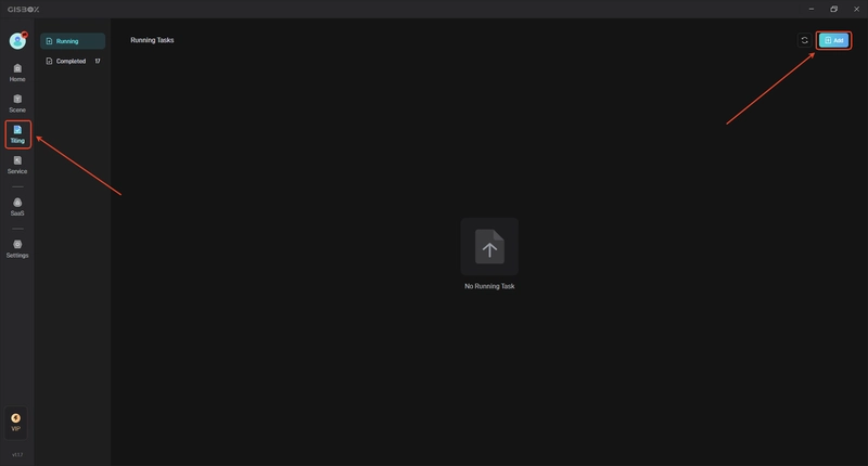
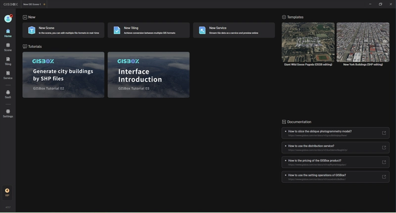
- GISBox GISBox is a domestic free GIS toolbox that integrates data processing, 3D modeling, and visualization analysis. It supports the import and export of a variety of common GIS and 3D model formats, including Shapefile, GeoJSON, OBJ, 3DTiles, S3M, etc., and is particularly suitable for projects that need to quickly build geographic 3D scenes. GISBox has a series of common tools such as built-in slicing, compression, format conversion, model clipping, normal recalculation, etc., with a clear interface and simple operation. It is one of the preferred tools for many 3D visualization projects and BIM+GIS integration projects.

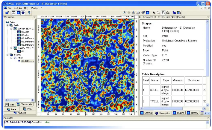
- SAGA GIS SAGA (System for Automated Geoscientific Analyses) GIS is a powerful open source geoscientific analysis platform, especially suitable for the analysis and processing of raster data. It has a wide range of terrain analysis, hydrological analysis, image classification and geostatistical tools, suitable for researchers or users who perform complex geographic modeling work. Although the interface is relatively traditional, its modular design and flexible plug-in system make it a professional tool for geoscientific data processing.
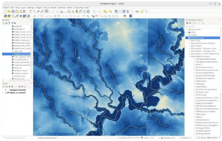
- WhiteboxTools WhiteboxTools is a set of lightweight command-line-based GIS analysis toolkits suitable for terrain modeling, hydrological analysis and spatial statistics. It is developed by experts in the field of geographic information, has high scalability, and can be integrated with tools such as Python, R, and QGIS. Although the interface is not intuitive enough, it provides extremely high efficiency and control for scenarios such as scripted batch processing tasks and scientific research automation analysis.
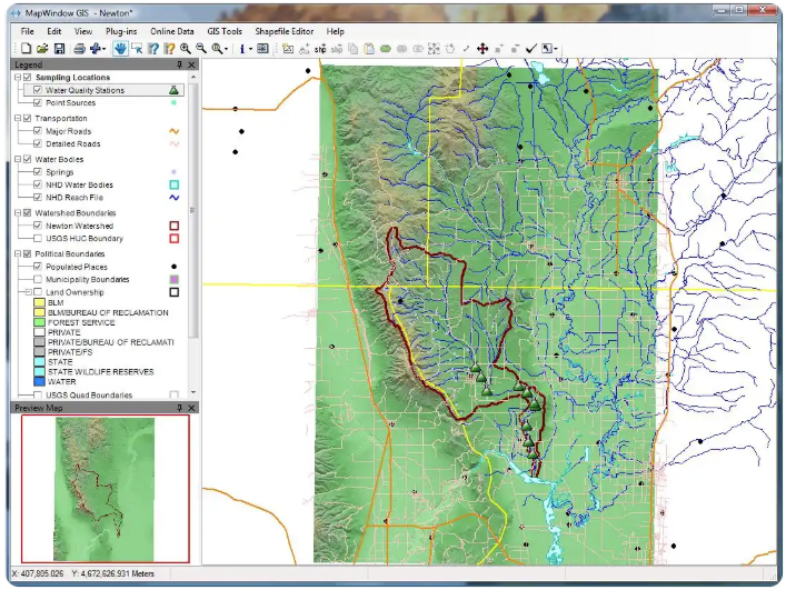
- MapWindow GIS MapWindow is an extensible open source GIS platform that has both a visual desktop version and a plug-in architecture for developers to customize extensions. It performs well in hydrological modeling, urban planning, land use analysis, etc., and with its built-in map controls and data processing tools, it is suitable for spatial data management and display needs in education, government, and small and medium-sized projects.
Summary
The above four GIS toolbox software have their own characteristics: GISBox is more suitable for visualization projects that focus on three-dimensional models and scene construction; SAGA GIS focuses on geoscientific analysis; WhiteboxTools is suitable for advanced automation processing; MapWindow GIS performs stably in small and medium-sized projects. Users can choose appropriate tools according to their needs, improve spatial data processing efficiency, and promote high-quality development of digital projects.