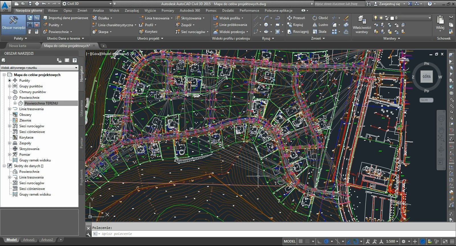
Geodesy and surveying are fundamental disciplines in planning and construction, providing the necessary data to accurately define property boundaries. Utilizing nanoCAD, a powerful drafting software, can significantly streamline these processes. In this article, we will explore the development of a Java script for nanoCAD that automates the task of determining property boundaries based on geometric data.

Before diving into the coding aspect, it's essential to establish the main objectives of our script:
Calculate and define the boundaries of a parcel based on input coordinates.
Generate a closed shape on the drafting interface.
Output results to the console with options for saving the data.
Prerequisites
Necessary Tools
nanoCAD: Ensure you have the latest version of nanoCAD installed that supports script execution.
Java Development Kit (JDK): Install JDK for developing and compiling Java code.
nanoCAD API: Access to the nanoCAD API is required for interacting with the application's functionalities.
Project Setup
Create a new project in your preferred Integrated Development Environment (IDE).
Include the necessary nanoCAD libraries in your project.
Sample Code for the Script
Below is a sample Java script designed to determine the boundaries of a property using specified coordinates.
import com.nanocad.api.*;
public class PropertyBoundary {
public static void main(String[] args) {
    // Initialize nanoCAD API
    try {
        NanoCADApi nanoCAD = new NanoCADApi();
        nanoCAD.connect();

        // Define the coordinates of the property corners
        double[][] coordinates = {
            {100, 100},
            {200, 100},
            {200, 200},
            {100, 200}
        };

        // Create a collection for the boundary lines
        LineCollection lines = nanoCAD.createLineCollection();

        // Generate the property boundaries
        for (int i = 0; i < coordinates.length; i++) {
            double[] start = coordinates[i];
            double[] end = coordinates[(i + 1) % coordinates.length]; // Closing the shape
            Line line = nanoCAD.createLine(start[0], start[1], end[0], end[1]);
            lines.add(line);
        }

        // Draw the boundaries on the current drawing
        nanoCAD.addToDrawing(lines);
        nanoCAD.refresh();

        System.out.println("Property boundaries successfully defined!");
    } catch (Exception e) {
        e.printStackTrace();
    }
}
}
Копировать
Code Explanation
API Initialization: The script begins by connecting to the nanoCAD API, enabling interaction with the application’s features.
Setting Coordinates: We define an array of property corner coordinates. The current example is a square, but this can be modified for various shapes.
Creating Lines: Lines are generated connecting the specified coordinates, and added to a collection for drawing.
Adding to Drawing: Finally, the script draws the defined lines on the current nanoCAD drawing.

Testing and Debugging
Once you have written the script, it's crucial to test it:
Run the script in nanoCAD and ensure that the property boundaries appear correctly.
Experiment by changing the coordinates to see how the algorithm handles different shapes (triangles, polygons, etc.).
Verify that the script handles potential errors, such as invalid coordinate inputs.
Developing a Java script for nanoCAD is a powerful tool that can greatly enhance the efficiency of geodesic surveys and boundary determination tasks. The script provided in this guide simplifies the process of defining property boundaries, saving time and increasing accuracy in your work. As you grow more comfortable with the platform, consider expanding the script’s functionality—add features like automatic data saving or integration with other geographic information systems, and unlock even more capabilities in your geodetic projects!
